STTR TERRAIN STRENGTH
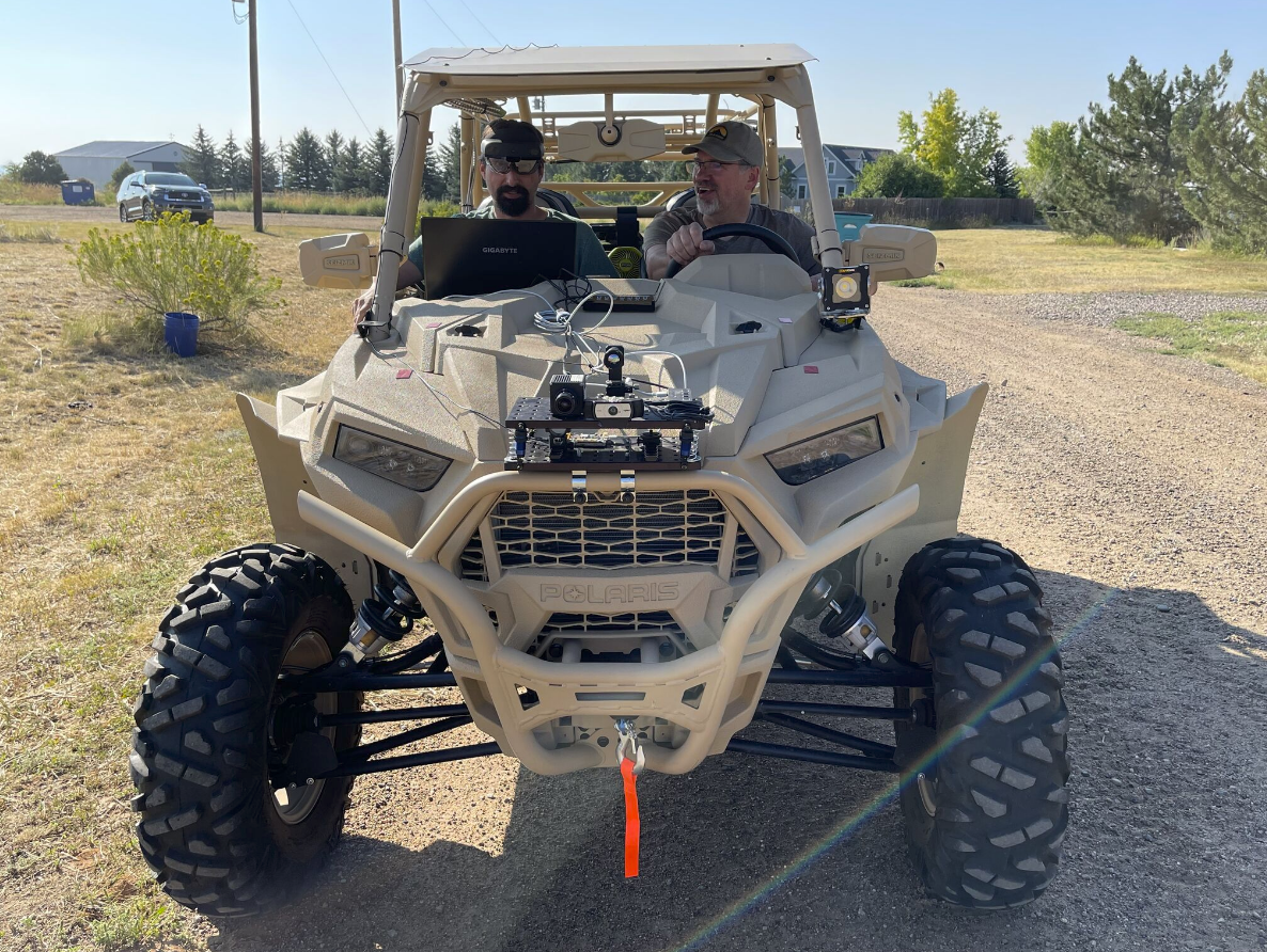
Partnered with Colorado State University, Augmntr is working to collect and process remote sensing imagery from ground, airborne, and satellite assets to predict terrain strength over diverse environments. Knowledge of terrain strength informs mobility models and guides vehicle route planning and performance.

This Army-sponsored Phase I STTR investigates different remote sensing techniques, from ground and airborne sensors, to image soil with the goal of correlating soil strength characteristics to captured remote sensing information. Soil characteristics are both imaged and manually measured in Phase I, combined with other soil measurements, and utilized as training data for a custom convolutional neural network (CNN). At the conclusion of Phase I, if successful, the technology will be able to predict soil strength properties from remote sensing data. In Phase II, these soil strength properties can then serve as input into a vehicle mobility model. The output of the vehicle mobility model provides input to the control system of an unmanned vehicle and navigates the vehicle in real time over imaged terrain.

